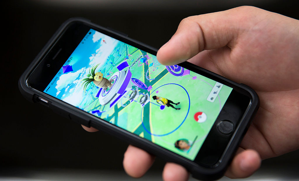
Last week, Niantic announced plans to create an AI model for navigating the physical world using scans collected from players of its mobile games, such as Pokémon Go, and from users of its Scaniverse app, reports 404 Media.
All AI models require training data. So far, companies have collected data from websites, YouTube videos, books, audio sources, and more, but this is perhaps the first we’ve heard of AI training data collected through a mobile gaming app.
“Over the past five years, Niantic has focused on building our Visual Positioning System (VPS), which uses a single image from a phone to determine its position and orientation using a 3D map built from people scanning interesting locations in our games and Scaniverse,” wrote Niantic in a company blog post.
The company calls its creation a “Large Geospatial Model” (LGM), drawing parallels to large language models (LLMs) like the kind that power ChatGPT. Where language models process text, Niantic’s model will process physical spaces using geolocated images collected through its apps.
The scale of Niantic’s data collection reveals the company’s sizable presence in the AR space. The model draws from over 10 million scanned locations worldwide, with users capturing roughly 1 million new scans weekly through Pokémon Go and Scaniverse. These scans come from a pedestrian perspective, capturing areas inaccessible to cars and street-view cameras.
First-person scans
The company reports it has trained more than 50 million neural networks, each one representing a specific location or viewing angle. These networks compress thousands of mapping images into digital representations of physical spaces. Together, they contain over 150 trillion parameters—adjustable values that help the networks recognize and understand locations. Multiple networks can contribute to mapping a single location, and Niantic plans to combine its knowledge into one comprehensive model that can understand any location, even from unfamiliar angles.


+ There are no comments
Add yours